

Everglades Regional Environmental Monitoring and Assessment Program (REMAP)
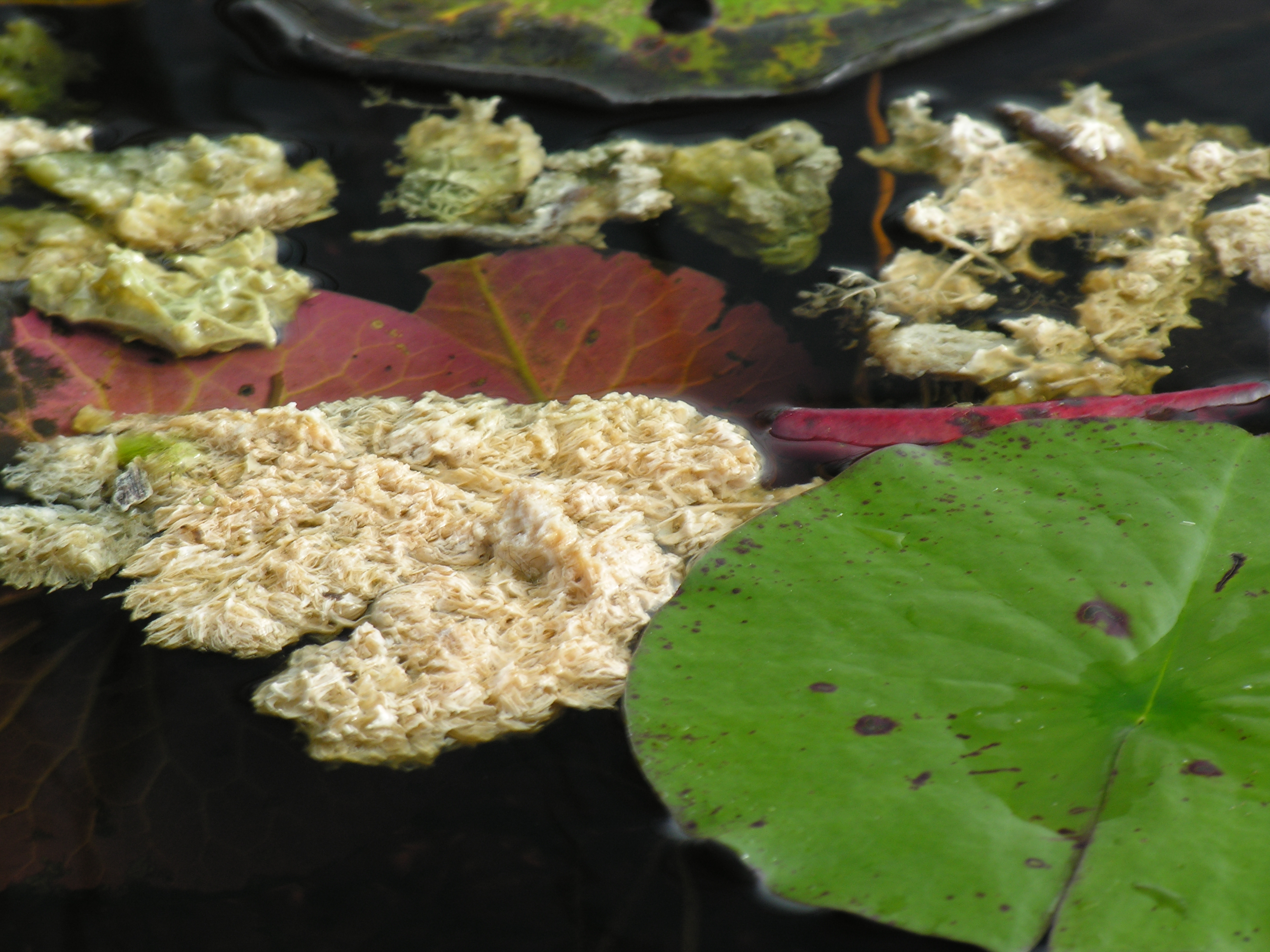
The United States Environmental Protection Agency's REMAP program has been assessing the Everglades' health over the last 20 years. REMAP measures current and changing conditions for water quality and ecological resources. This program is the only scientific effort in the Everglades that combines a probability-based sampling approach, which permits quantitative spatial statements about ecosystem health; an extensive 2000 square mile coverage that includes all of the Everglades; and a multi-media aspect (water, sediment, fish, algal communities, and plants such as sawgrass and cattail).
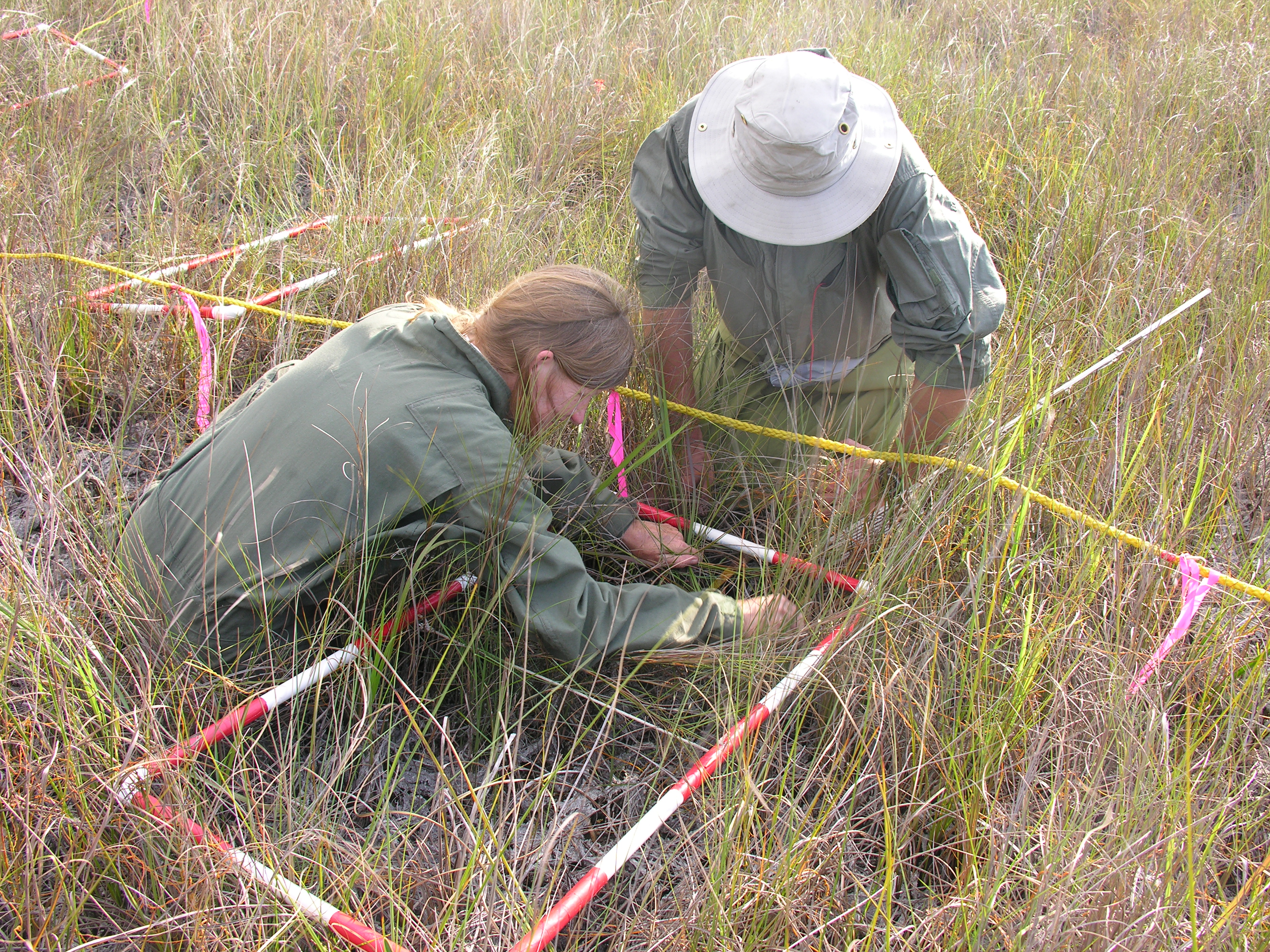
Program data have been used by the National Academy of Sciences and over 30 Federal or Florida agencies, Indian tribes, environmental groups, agricultural interests and universities. Over the course of phases I (1995-1996), II (1999), III (2005), and IV (2013-2014), more than 1000 different marsh locations were sampled. About 125 locations are sampled in a three-week window in order to assess the entire Everglades at a point in time.

As Everglades restoration and phosphorus and mercury control efforts proceed, REMAP sampling can be repeated to document the condition of the Everglades and the effectiveness of these actions.
Many entities have contributed to this Program, including Florida International University, Everglades National Park, Arthur R. Marshall Loxahatchee National Wildlife Refuge, United States Army Corps of Engineers , Florida Department of Environmental Protection, The Miccosukee Tribe of Indians of Florida, and the Seminole Tribe of Indians allowed sampling to take place on their federal reservations.


